


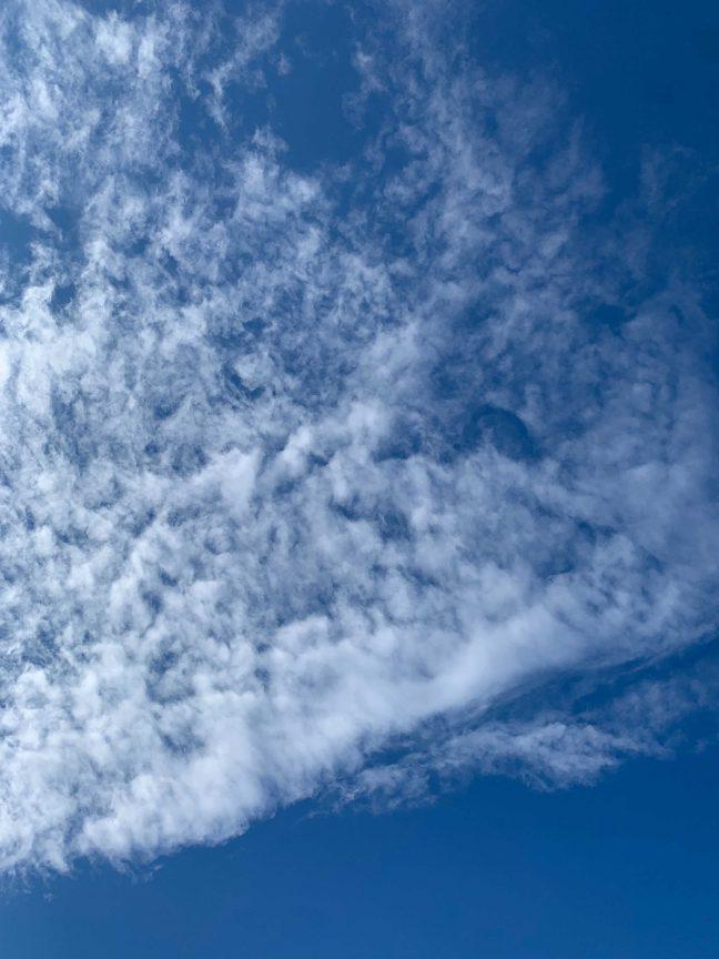
GOES-T, a satellite in the Geostationary Operational Environmental Satellites R Series, launched March 1. According to the National Oceanic and Atmospheric Administration, the satellite will take atmospheric measurements, map lightning in real time and monitor space weather.
GOES-16, the first satellite in the series, was launched in 2016 and GOES-17 was launched in 2017. When GOES-T enters orbit, it will be renamed GOES-18.
Education and Public Outreach Lead at Cooperative Institute for Meteorological Satellite Studies Margaret Mooney said the University of Wisconsin played a key role in deciding which measurements the satellites would take.
UW collaborates with NASA to launch small satellites, collect unprecedented data
GOES-T will collect data that is important for public safety, Mooney said. The instruments on GOES-R satellites provide better warnings for severe weather and improve aviation safety.
UW CIMSS researcher Corey Calvert said the GOES-R series is important for researchers and is helping improve satellite image quality. GOES-R provides about 60 times more images than previous generations of satellites. While this technology creates a range of new possibilities, Calvert said the large amounts of data present a challenge, requiring a lot of computing power and time.
“The big scope of these new satellites is that it really does bring in a lot of new information, it kind of fills in a lot of the gaps, and it really is applicable to really just everybody, everyday life,” Calvert said.
With this new information, Calvert said researchers will be able to advance satellite products and weather forecasting. The improvements from the technology will make the products more user-friendly for the general public, Calvert said.
The Reproducibility Crisis: What happens when scientists can’t recreate established findings?
One of these products is a fog detection software called the Fog and Low Stratus product. Calvert helped develop the software along with NOAA employee Michael Pavolonis.
The researchers developed The Fog and Low Stratus product before GOES-R was launched, and the product has been fully functional in National Weather Services offices using data from GOES-16 and GOES-17 since 2021. Calvert worked on the product for the last 10 years, and he said the product is used to identify hazardous areas in the air and on the road.
Calvert said the Fog and Low Stratus product makes flights more cost-effective — if one airport has low visibility, the product can delay a flight headed to that airport to avoid redirecting the flight. On the road, the product can detect low-visibility conditions like fog, snow and smoke.
“The goals of these projects are really to determine where hazards are and then try to get that information to the public, so that does help save life and property,” Calvert said.
The Lab Report: Alternate solutions for natural products using plant tissue
Calvert has worked with GOES-16 and GOES-17 to do cloud typing, which determines whether clouds are made of liquid, ice or a mixture of the two. Cloud typing is important for aircraft icing as well as determining freezing rain and freezing fog.
Another project for Calvert is volcanic ash detection. Ten years ago, when volcanoes erupted in places that weren’t very populated, Calvert said researchers weren’t able to gather a lot of data. The GOES-R Series will be important to get a bigger picture, Calvert said.
GOES-T has new spectral channels which will better identify ash and sulfur dioxide, Calvert said. This detection will help airplanes avoid concentrated clouds of sulfur dioxide and ash from volcanoes, which are harmful to humans and can enter the cabin. Volcanic ash can also create problems for jet engines, Calvert said.
Mooney said these products are cutting-edge technologies that will save lives, but this isn’t the first time UW CIMSS has been on the front edge of innovation in the satellite meteorology world.
Understanding implications of augmented reality in manufacturing, privacy
The first successful instrument to fly on a geostationary satellite and collect remote data from earth was designed at UW by Verner Suomi and Robert Parent. Shortly after the launch of the world’s first satellite, Suomi and Parent developed instruments to attach to future satellites, Mooney said.
Shortly after the launch of the first instrument, the Atmospheric, Oceanic and Space Sciences building — where CIMSS is located — was constructed with the support of NASA, the National Science Foundation and the State of Wisconsin.
Mooney said CIMSS is one of 20 NOAA-sponsored Cooperative Institutes. CIMSS is engaged in satellite research, applications, sensors and techniques. The institute also works on environmental models and satellite data as well as outreach and education programs.
“[CIMSS] is instrumental,” Mooney said. “It’s huge. Many people consider Madison to be the birthplace of satellite meteorology.”