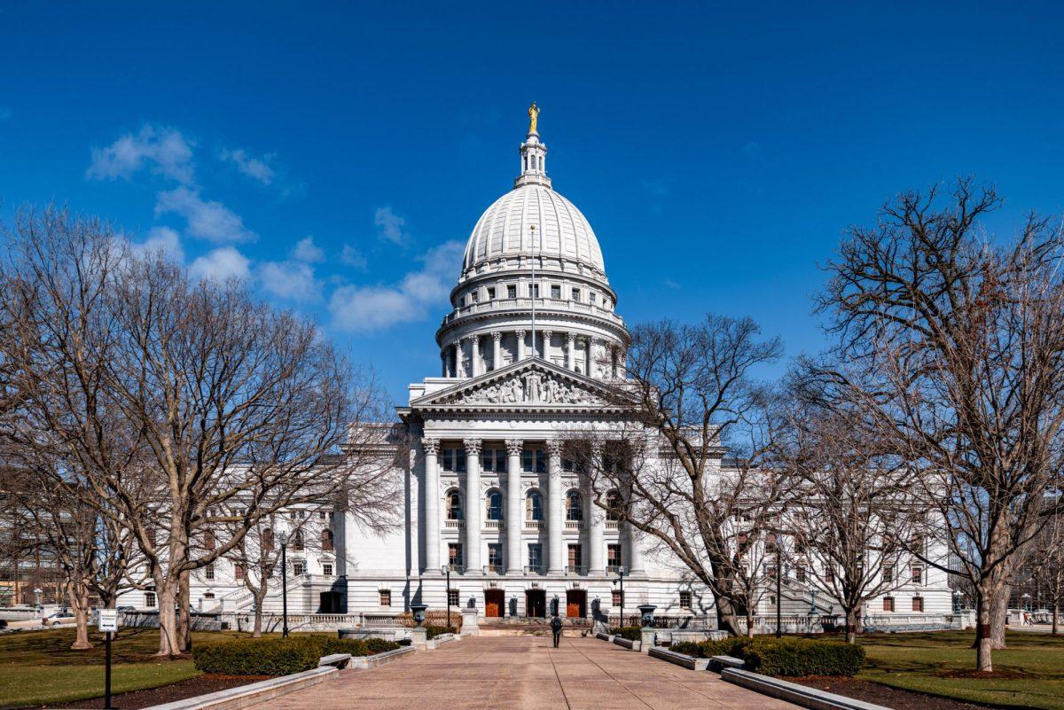
Since the 1980s, the University of Wisconsin Space Science and Engineering Center has been perfecting a system to provide current data and satellite imagery products to the National Hurricane Center and other organizations in order to track storms.
The system’s aim is to analyze and predict the hurricane’s landfall.
Now Isabel, one of the largest hurricanes to hit the East Coast in the last half century, has caused a hurricane warning to be enacted from Cape Fear, N.C., northward to Chincoteague, Va., including the Chesapeake Bay area south of Smith Point, Va.
More than 75,000 people were urged to evacuate vulnerable areas of the North Carolina coast and the Outer Banks. North Carolina and Virginia were declared as states of emergency. Moreover, North Carolina Gov. Michael Easley ordered a mandatory evacuation for parts of the Outer Banks.
Tuesday morning when Isabel approached the Middle Atlantic region, the U.S. Navy ships had headed out of port and bounded for safer seas. The Air Force and Navy aircraft also took off for inland bases.
Derrick Herndon, a member of the UW research team, said Isabel started off the coast of Africa and has been going for 10 days.
“A lot of states will be affected,” Herndon said. “After hitting North Carolina, it will go up to the Great Lakes area, New York and up to Canada.”
Hurricane ratings are measured on an increasing intensity scale from 1 to 5, with 5 being the most intense. Herndon said Hurricane Isabel once reached the rating of 5.
“This hurricane is a special one because not many hurricanes from Atlantic can reach category 5,” Herndon said. “But now it is down to 2; that comes with wind speeds of 96 to 110 [miles per hour] and a storm surge of six to eight feet above average. However, the wind is still very strong.”
Herndon explains, “This hurricane is powerful because it is very large. It is 300 miles big and going in all directions, which means it is 600 miles big.”
Christopher Velden, head of the research group, agrees.
“Isabel has decreased in intensity during the last 24 hours,” he says. “But there is a good chance it might reorganize itself and still pack a powerful punch when it makes landfall on the East Coast.”
Together with Velden and Herndon, there are three other scientists in the research team. They expect the hurricane has brought thunderstorms and a lot of rains, even though it has not made landfall yet.
Currently, this research team is a part of UW’s Cooperative Institute for Meteorological Satellite Studies and is working to improve its technology.
“We have a couple of technologies to announce the ratings of a hurricane,” says Herndon. “We are trying to improve them by making them more accurate. People have started to feel the coming of the hurricane.”
Herndon, who grew up in Miami, Fla., says he is very interested in learning about hurricanes.
The research team has a webpage to provide more information about Isabel’s path and satellite imagery of the hurricane.


