The weather outside was frightful Wednesday as Madison received its first significant snowfall with more than an inch of snow accumulating on the ground while temperatures dropped into the teens.
This past week has seen some gloomy and nasty weather, as heavy rain showers turned into slushy, wet snow yesterday, leaving a combined six inches of precipitation. The sudden change in the type of precipitation was due to the collision of the warm, southern winds from the Gulf of Mexico and the cold, northern winds sweeping into Wisconsin, which formed the rain-snow line, University of Wisconsin atmospheric and oceanic sciences professor emeritus David Houghton said.
Houghton attributed the weather crossover to the irregular jet-stream patterns, which shifted slightly last week and hit the eastern part of the United States with about 30 inches of snow in some areas. Although the storm has passed for now, Houghton said cold temperatures are in the forecast.
“There has been nothing dramatic yet,” he said. “[The cold weather] is not coming right away … but it’s also not going to warm up real quickly [either].”
Edward Hopkins, UW atmospheric and oceanic sciences lecturer, added that it is not unexpected that the first snowfall was a month late this year.
“We haven’t had that much precipitation this year, except a few storms that kept us at average,” Hopkins said. “The storm that came through [today] went too far west. We never switched over; there was too much rain.”
But this is not the latest first snowfall. According to Hopkins, in 1914 the first winter snow occurred in early January. Abnormal weather patterns are just “one of those things,” he said.
Both Houghton and Hopkins said that the timeliness of the winter weather this year is not a determination of the length or the intensity of the winter.
“What you see a couple of days doesn’t show how it will be during the rest of the winter,” Hopkins noted.
Houghton agreed, adding that meteorologists’ ability to determine long-range forecasts does not have a solid scientific foundation yet. But global warming is playing a factor, he said. On a local basis, there are many fluctuating conditions.
“Winters, typically, will be warmer rather than colder than 30 years ago,” Houghton said.
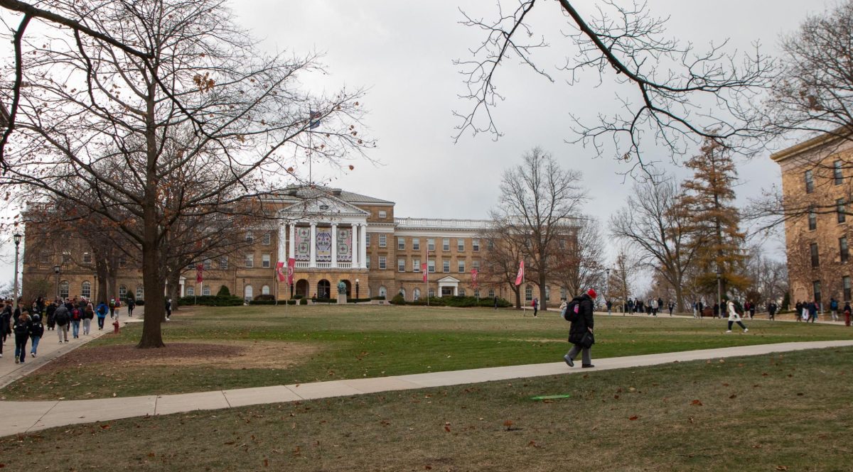
As students walked to class on the slippery sidewalks yesterday, the strong winds pelted snow into their faces. The flakes were a little bit bigger than average but felt much worse because no one had adjusted to the new precipitation.
“It was disgusting. I almost got blown into the street because of the strong winds, and I had to hold on to a street lamp to save myself,” UW junior Jenny Skiba said.
Skiba added that she enjoyed the snow being delayed this year because she hates walking to class in the slush. UW freshman Justin Madsen agreed.
“It was a ho, but it’s Wisconsin at its best,” Madsen said.
However, other students found the winter weather refreshing.
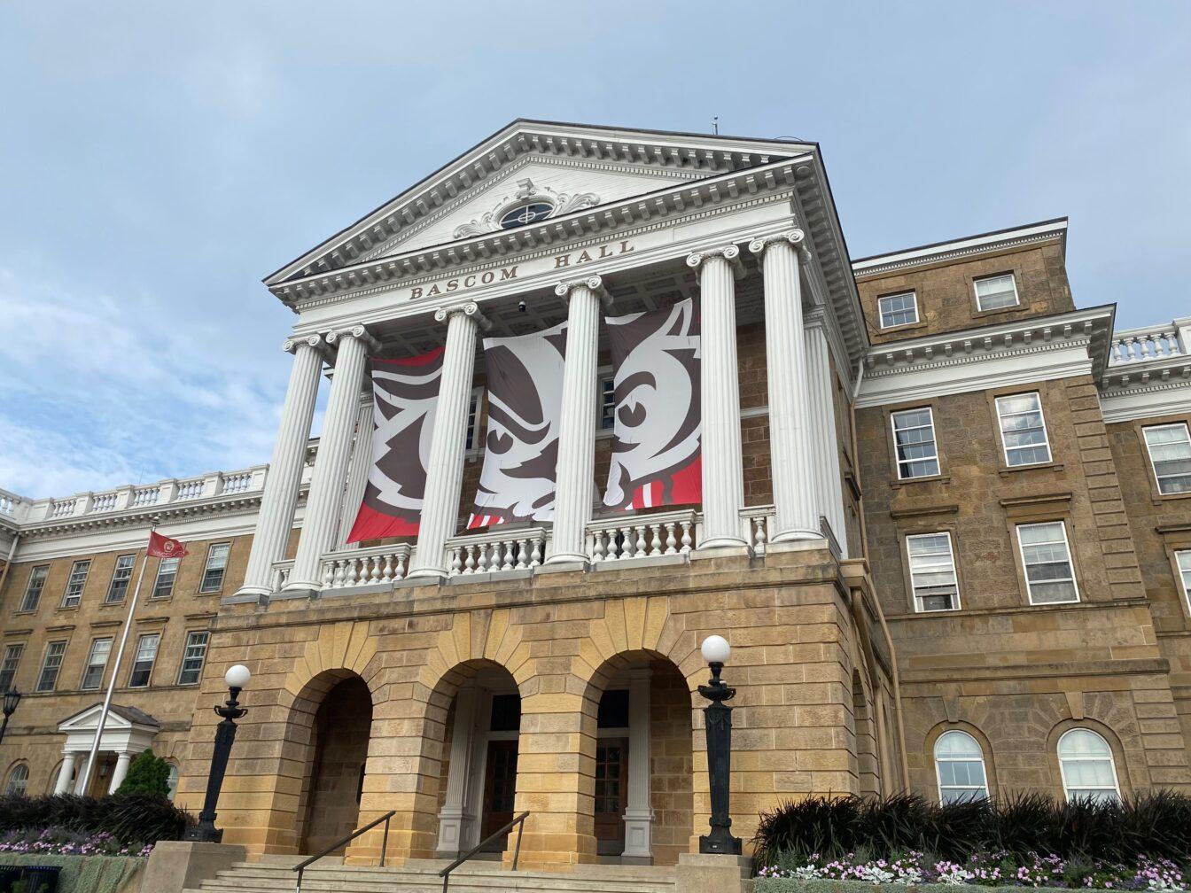
“I was so happy when I woke up this morning and saw the snow. It was such an improvement over the rain, and it made the hike up Bascom more interesting,” UW sophomore Page Kelly said.
Kelly said she continues to look forward to the snow as long as the winds calm down and the roads do not get too icy.
More snow showers are expected this weekend as temperatures continue to drop.


