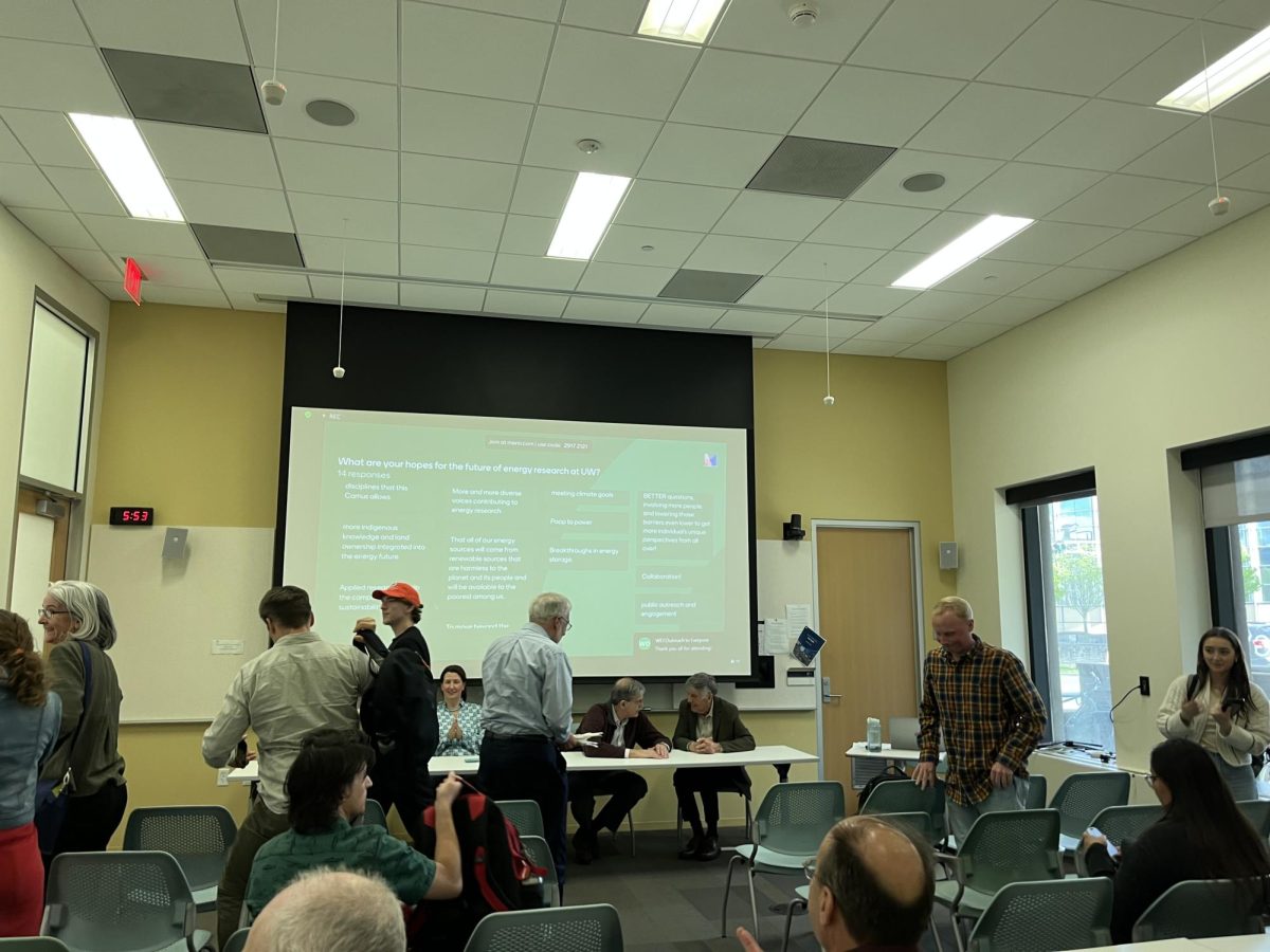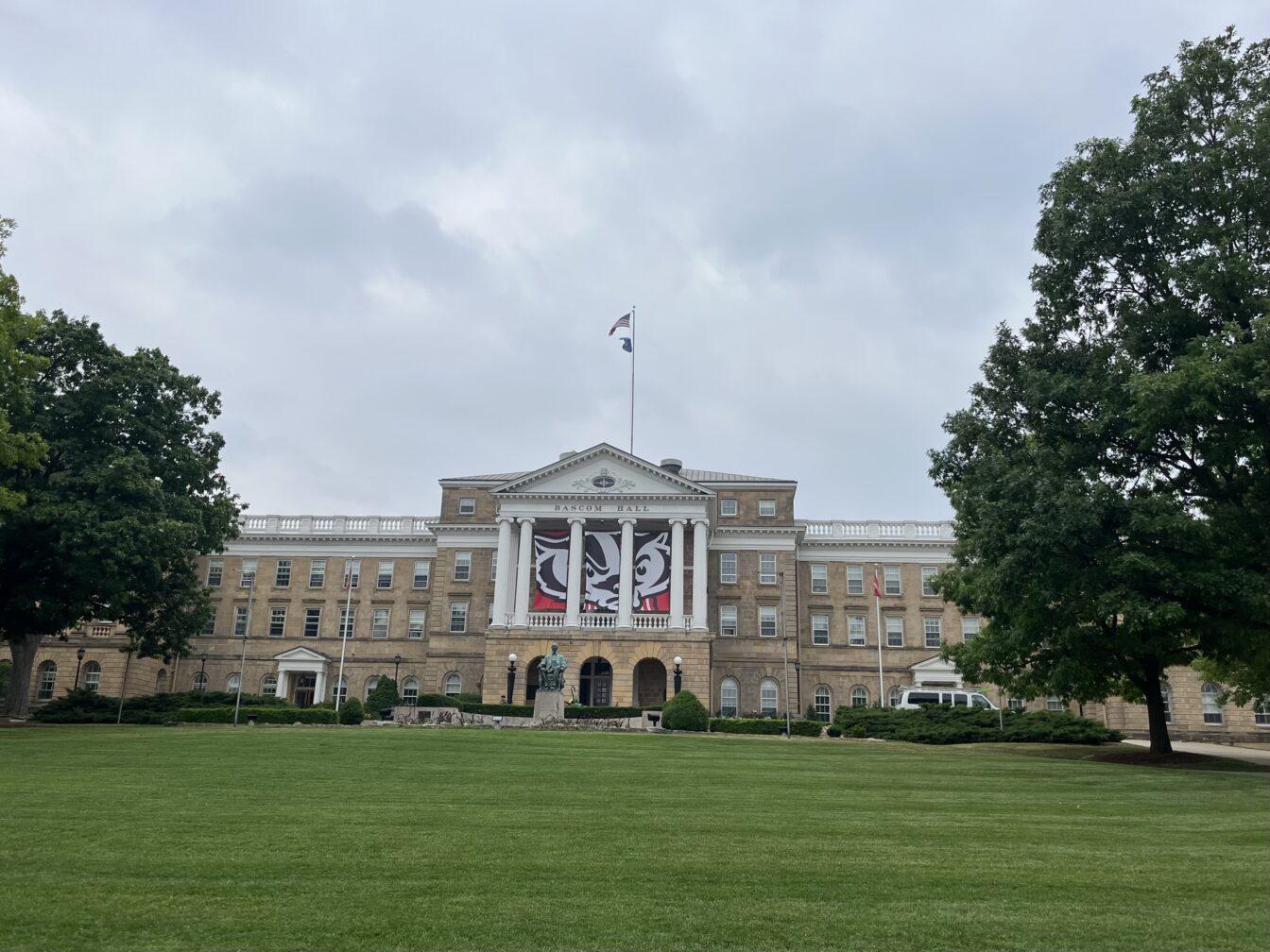


University of Wisconsin’s Geography Department is working to combat deer overpopulation with cartography.
In conjunction with the Wisconsin Department of National Resources, UW is creating an updated map of Wisconsin to help better define areas with high deer populations.
“Ever since I arrived on campus seven years ago, I’ve been trying to find some internal resources to remake the map because there have been some changes to the landscape of the state,” UW assistant professor in forest and wildlife ecology, Mutlu Ozdogan, said.
Due to deer overpopulation in this state, Gov. Scott Walker invited an expert from Texas, Dr. James Kroll, to discuss the deer problem. Kroll said the state needs to update its geographic areas, geographic information system and cover resources. Based on that, Walker and a few other people searched for funding from federal agencies and found half a million dollars to make a map.
“We had been talking to the Department of Natural Resources for a number of years,” Ozdogan said. “Once they got the funding, they immediately came to us and said, ‘Now we have the funding. Can you help us make the map?’”
A remote-sensing technician on the project with a degree in animal biology, Matt Bougie, said given the spatial component, the types of land cover that deer thrive in can be noted in order to identify where their populations tend to live. The map can model the population and predict that there will be hot spots in certain areas because these are the land cover types that deer are in.
“I was working for [professor] Mutlu on databases for a global land cover project, then I shifted over to this,” Bougie said. “Getting the skills and the knowledge from the courses I took in this GIS Certificate that the Geography Department offers has really prepared me for being able to work with the data and to do this project.”
Since cartographers at UW are making the map, the DNR is like a customer and UW is the provider of the service, Ozdogan said. The state cartographers’ office, housed in the Geography Department, is leading the entire effort. The grant is made by the Fish and Wildlife Service, a federal agency, and made out to the DNR.
Wisconsin State Cartographer Howard Veregin said, while exact updates are uncertain at this point, “deforestation and reforestation will likely cause some changes.”
Ozdogan said satellites that are owned and operated by the United States government are used to observe and snapshot the land every 16 days.
“We build a record from these images,” Ozdogan said. “Every 16 days we make 20 or so observations and do this over the course of the year. Because of cloud and other issues, we have to compile data from at least two or more years so that we can build a full record.”
Urban and suburban areas will like be the most affected, Ozdogan said. While some land used for agriculture is reverting back to forest or grassland, he said other land is being changed by cultivation. However, he said the underlying part of this project is about deer management.